Space Mapper
Mobile application built in flutter/dart during my contract at CSIC
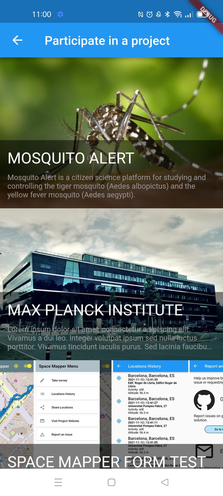
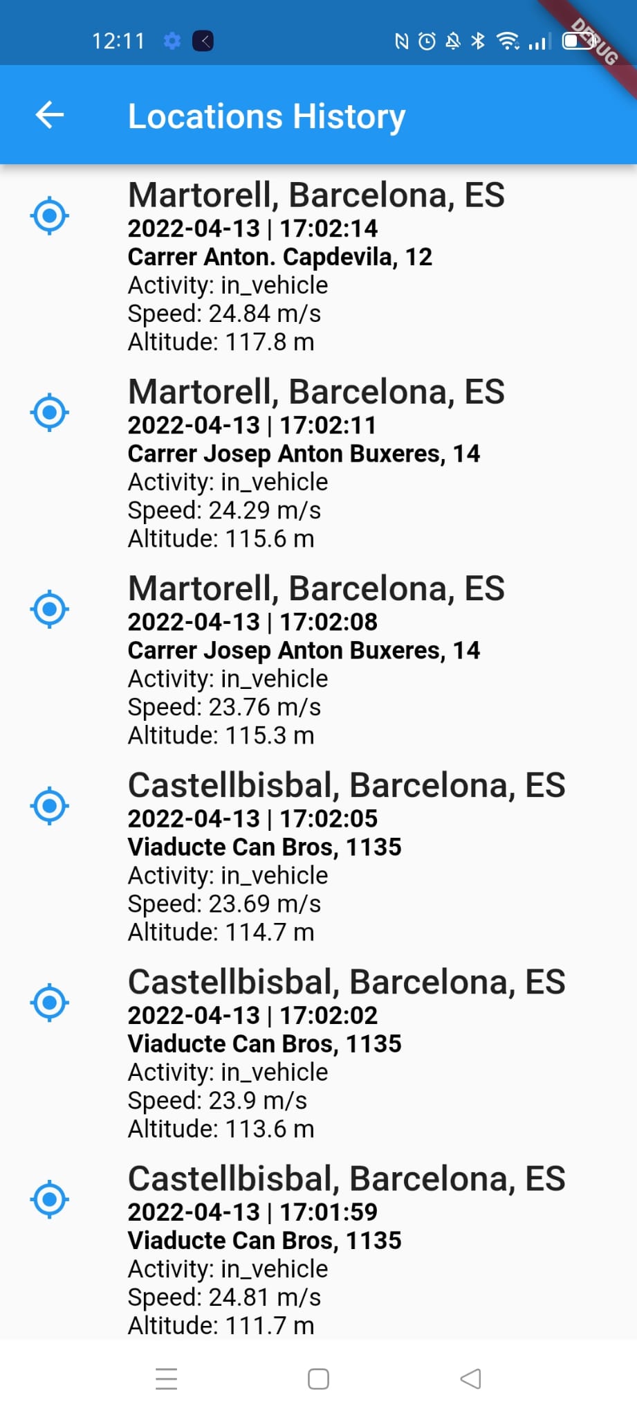
Basic Usage - Geolocation
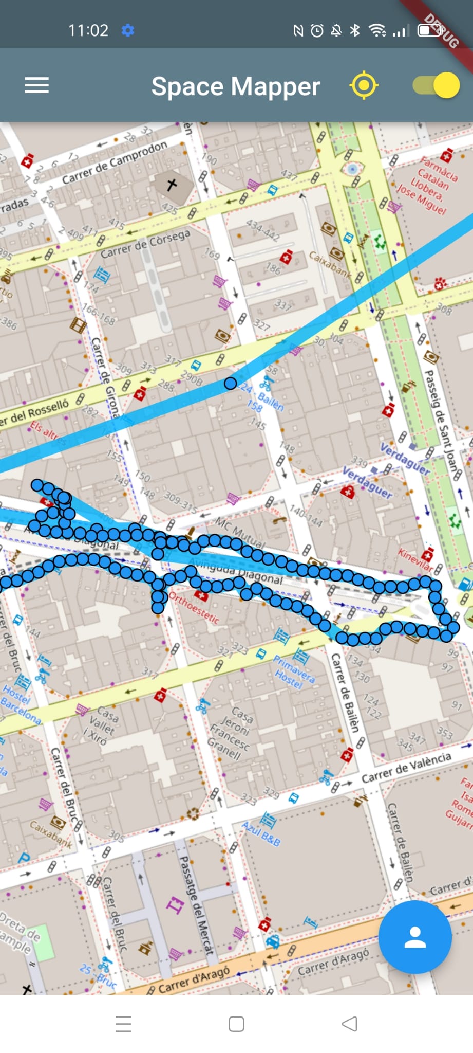
- Track geolocation, speed, altitude and transport method.
- Privacy: Data never leaves user's device.
- User can decide to share data anonymously to participate in a scientific project/survey.

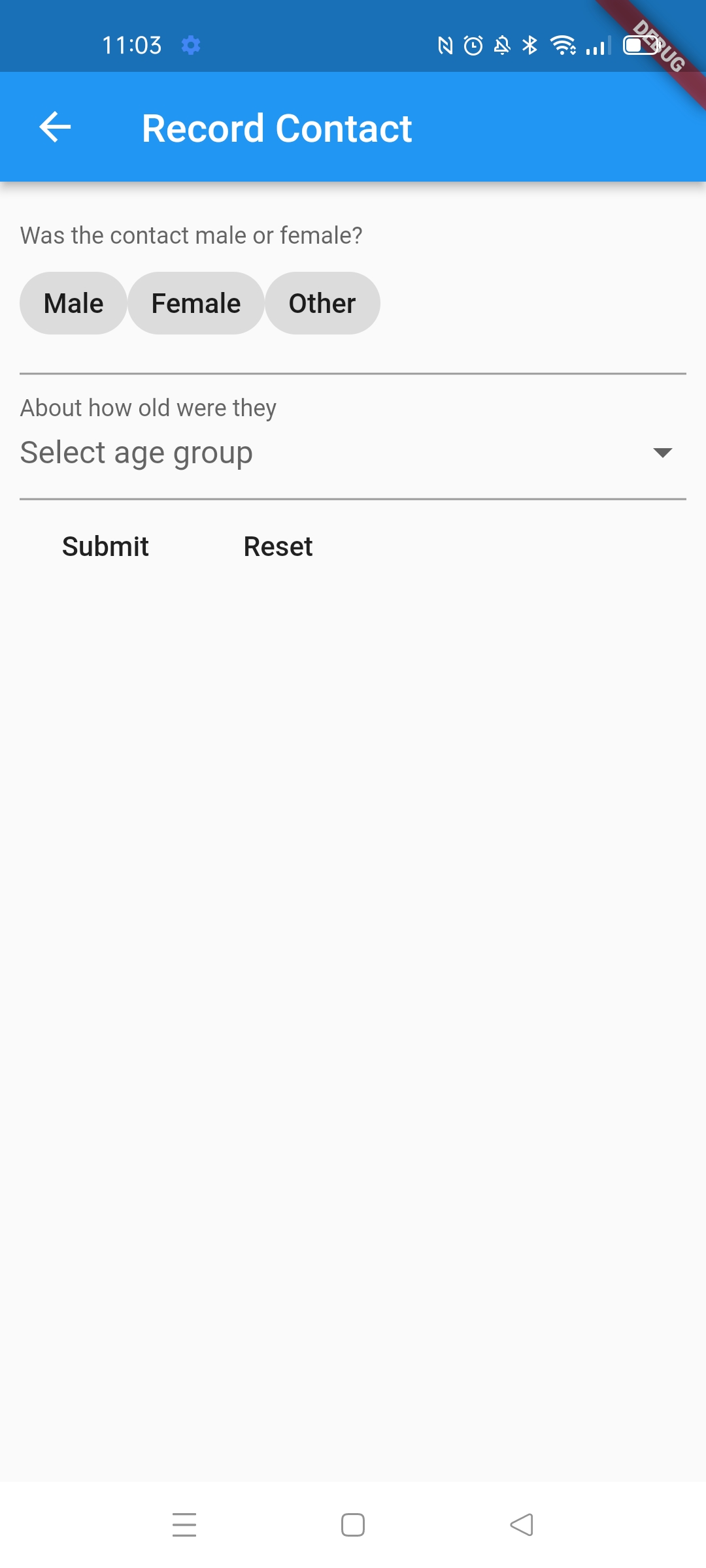
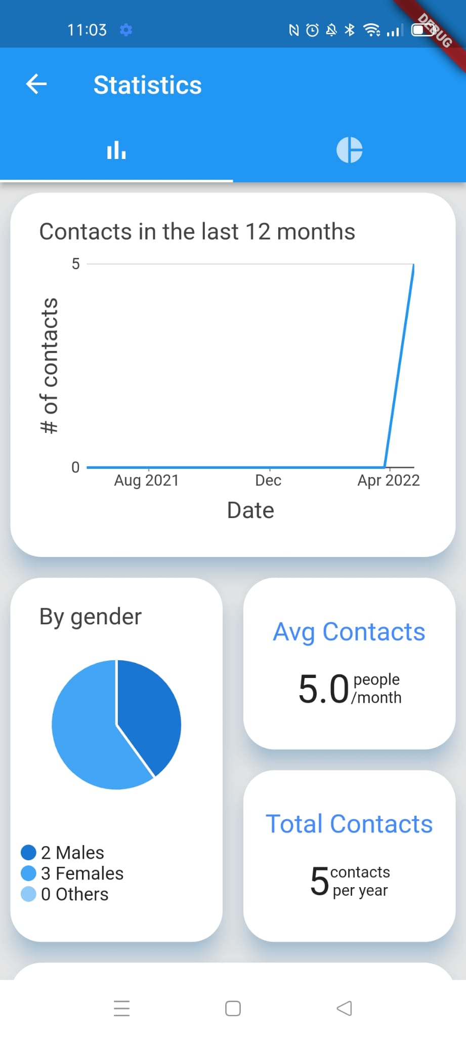
Contacts & Statistics
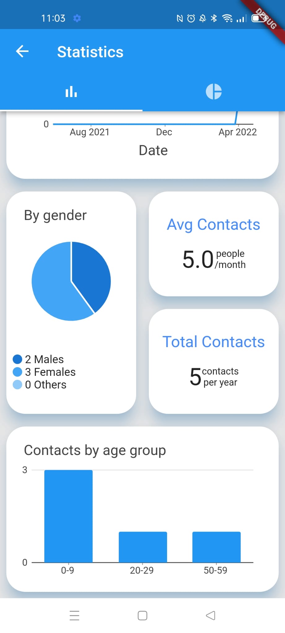
I developed a system to allow the user store their contacts (people they meet) and then display their data visually as statistics.
Projects on top of Space Mapper: Tiger in Car
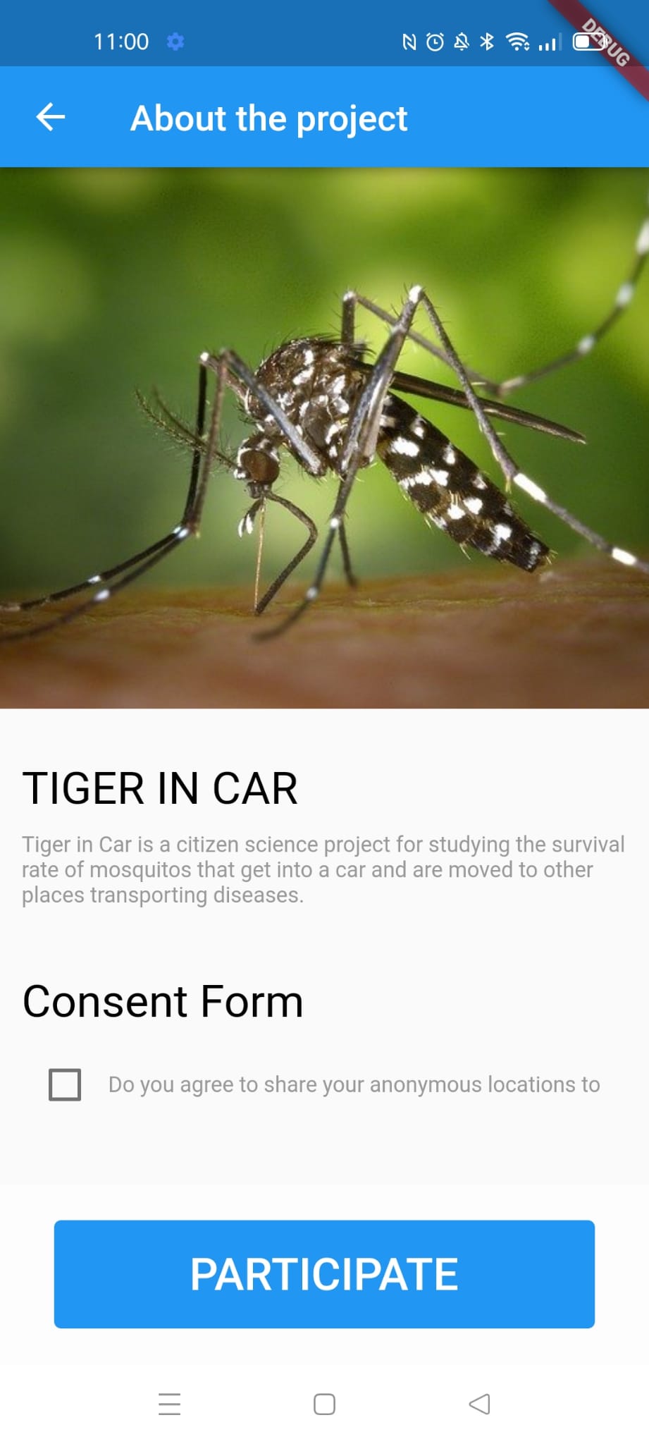
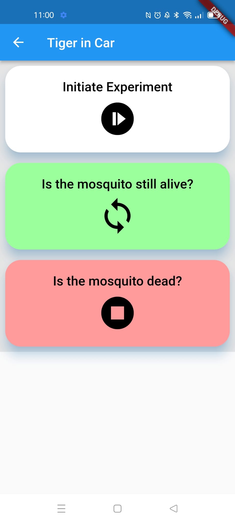
The idea is that other scientific projects that need the geolocation of the users can be used from within the app. For example, in the project "Tiger in Car" the scientists wanted to measure how much time the dangerous mosquitoes can survive inside on car, transporting diseases to other locations.

DevOps Engineering | CD/CI, testing and automation
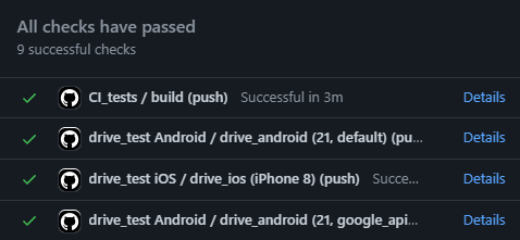
I implemented the DevOps processes to do automated testing (unit, widget and integration), test coverage, static code analysis and continuous integration and deployment.
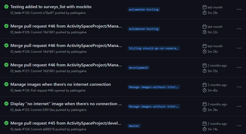
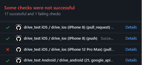
Below there is an example of a failing test. Whenever a fail is discovered, it must be fixed as soon as possible.
